Northern Trip
29 August 2005 - Monday
0 Miles - Left Kalispell MT
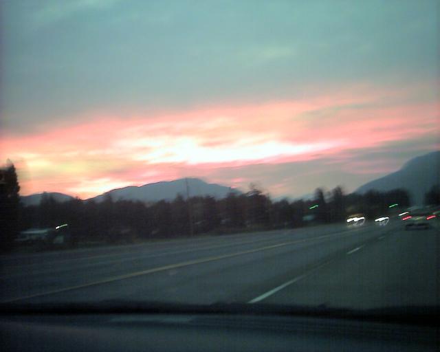
We woke up before dawn. Due to the time zone change this was pretty early
for me. We drove toward the park on US 2. Eventually we got to see the sun
rise over the Rockies:
The Rocky Mountains are very narrow in this part of Montana, only 35 miles
wide. This is because there was a fault in the region so instead of being
pushed up to form mountains, the rocks slipped up and over the
fault, causing an "Overthrust in the Earth's Crust" as some piece of
literature put it. This means that the upper rock layers are actually
older than the deeper ones.
We got to the main gate before it was staffed, and then entered
Glacier National Park, or "Waterton-Glacier
International Peace Park World Heritage Site" if you want to use
the full name.
We started driving on the "Going to the Sun Road" which is supposed to be
the most scenic stretch of road in the US. Kristina had some doubts about
that, but she has been spoiled by all the scenic driving we've been doing
in the last few years.
The road starts out paralleling Lake McDonald, and there were some pretty
mountains in the distance. Unfortunately they were shrouded in fog and/or
smoke, so the view wasn't quite what it could be.
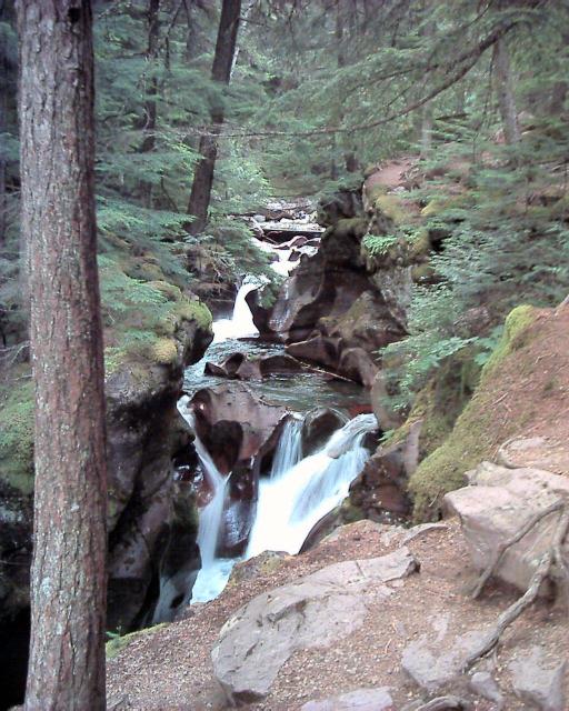
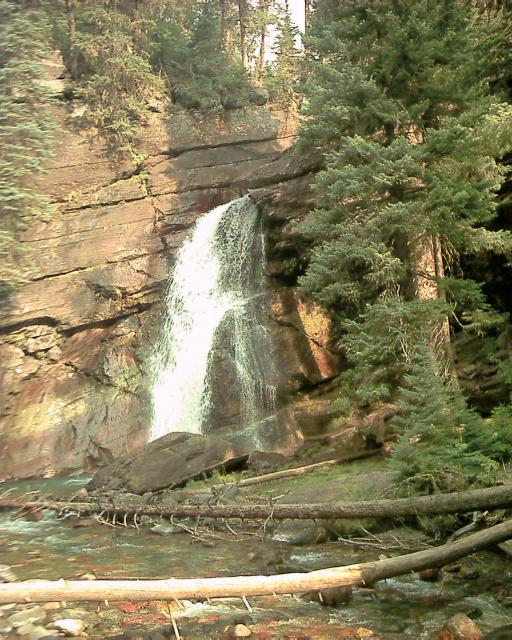
We stopped at Avalanche Creek, which had a trail among a cedar grove,
and a pretty waterfall:
Walking back Kristina was startled by a mountain goat. We were a bit jumpy
about wildlife because there were numerous signs everywhere saying
disturbing things like "Grizzly Bears are in this area! We cannot
guarantee your safety!"
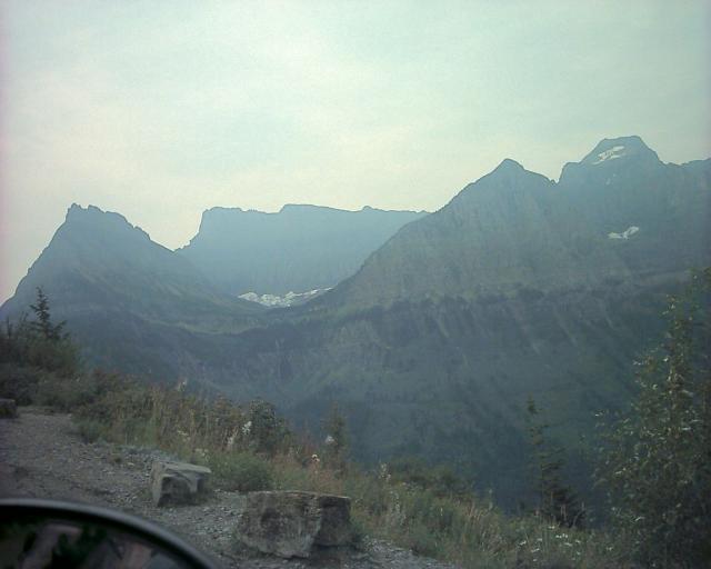
We continued on the road and started to climb toward the pass. The trees
in the area had been burned by a semi-recent forest fires. At the tops of
the mountains you could see the glaciers, in their classic U-shaped
valleys:
The road was precariously perched on the edge of a cliff with not many
guardrails. To add to that there was construction going on, but luckily
the park was not that busy so we met minimal delay. We passed a few
small waterfalls and we arrived at Logan Pass. There we crossed
the Continental Divide:
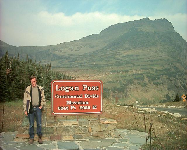
Don't be fooled.. this is not the Pacific/Atlantic divide but the
Pacific/Arctic one. We were far enough north that water where we were
would flow north to the Hudson Bay.
There was a visitor center here, with a trail leading up the mountain, so
we decided to take it. The trail would take us to "Hidden Lake" and indeed
it was well hidden. We kept climbing, and climbing, and climbing on the
trail...
We did go by a neat mountain that had lots of glacial moraine scattered
about it:
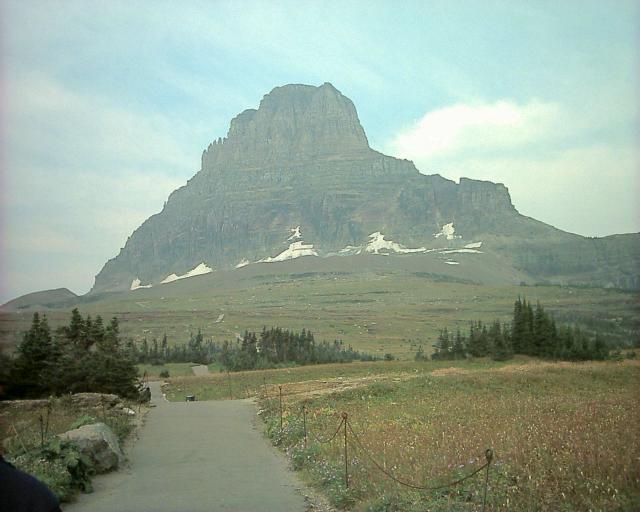
The mountains that have pointy tops ended up that way because they had
glaciers going down from the top in all directions.
Finally after much climbing we found hidden lake:
And then we had a nice downhill walk back to our car. The trail
was pretty, there were small waterfalls, neat red rocks, and marmots
and ground squirrels.
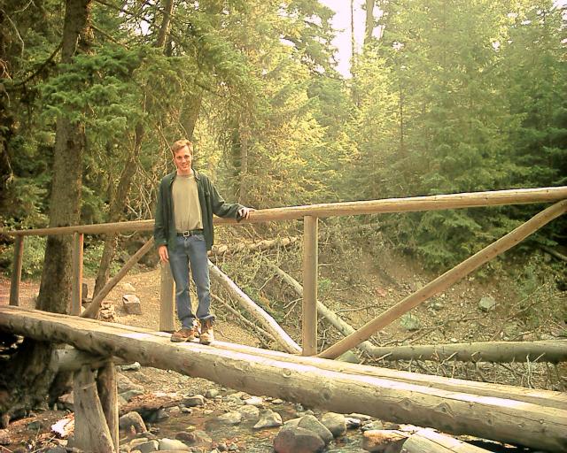
We got back in our car and continued on the road. We pulled off to walk
down to Baring falls. There was an interesting bridge along the way:
The rocks at the base of the falls were a pretty blue and red color:
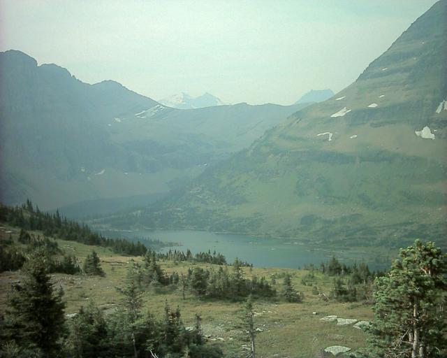
We hiked back up, and kept driving, now along St. Mary Lake:
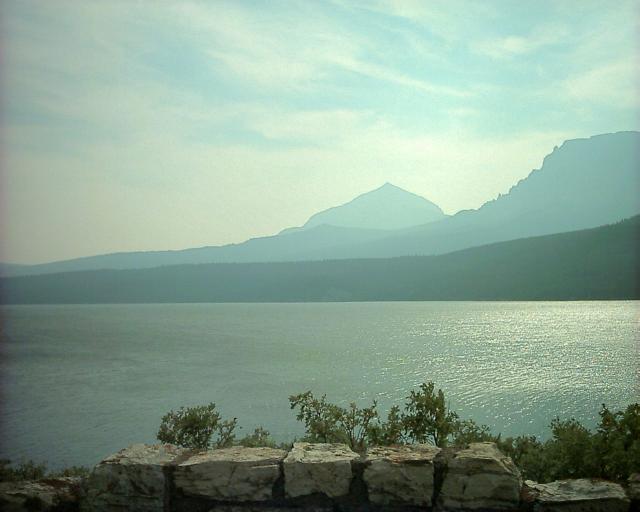
And soon we reached the end of the lake and left the park! But don't worry,
our adventure continues on the next page.
Back to main trip page