New Hampshire Trip - Pinkham Notch
On Friday we saw yet more waterfalls...
We were in Pinkham Notch, which is to the north-east of Mt. Washington.
We drove on US 2, the road we traveled along at Glacier Park (although
this route and that one don't actually connect).
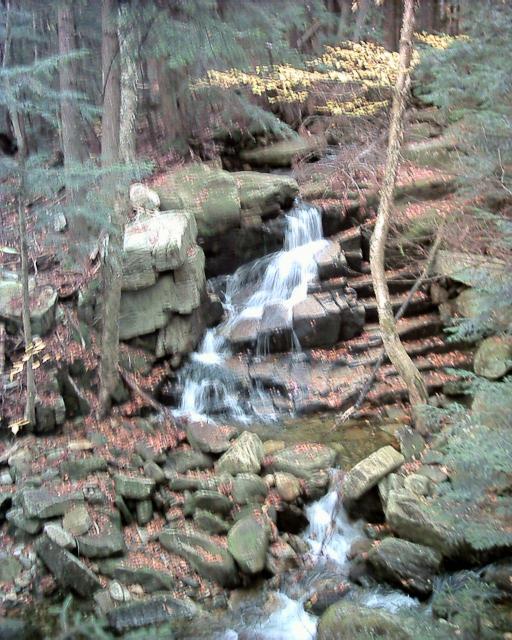
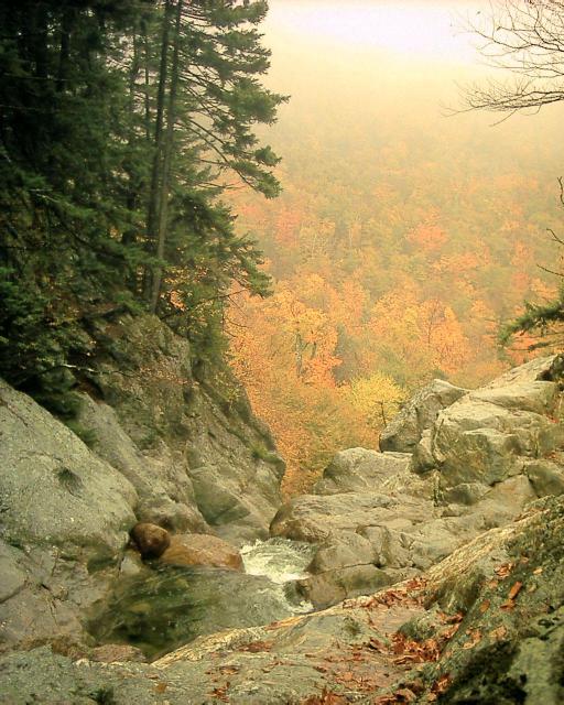
We are now at the waterfalls in the Dolly Copp region. Here is
Stairs Falls (22) which we were lucky to see because of rain;
the waterfall book author refused to believe it existed:
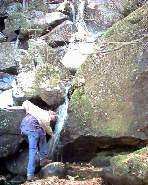
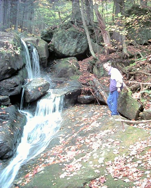
Here is Coosauk Falls (23). Can you spot Kristina in the
picture?:
And here is Hitchcock Falls (24):
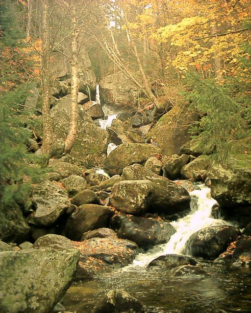
We then went a little bit down the road to see the Triple Falls: Proteus
(25), Erebus (26) and Evans(27). I think the
picture is Evans Falls, but sorting out which was which is difficult after
viewing so many waterfall pictures.
We continued around to the east side of Mt. Washington, out from the rain
shadow apparently because the fog gave way to fairly heavy rain.
We went to the AMC Pinkham Notch Camp, avoided the soaked hikers seeking
shelter, and then went up the trail a bit to see Crystal Cascade
(28):

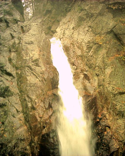
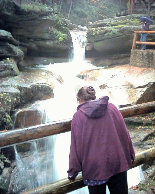
After that, we went just down the road to see Glen Ellis Falls
(29). The view from the top shows that the foliage could be pretty
despite the fog:
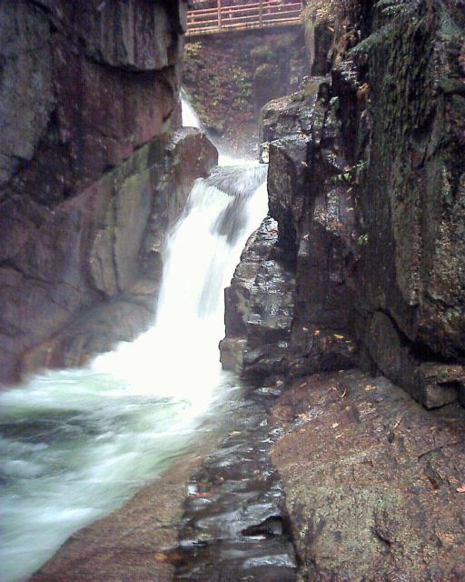
Here's the view from the bottom. It was hard to get a good picture because
another couple was standing at the optimal picture-taking spot. This was a
very impressive falls, but it was raining a bit hard to stand around
and enjoy it:
After that, we drove further south on NH 16. We stopped in the town
of Jackson to see the wide falls (30) right near downtown:
We then bought gas at what seemed to be a reasonable price (on a road with
few stations) only to immediately come across 5 other stations with cheaper
prices. But I guess that's the way things go.
We continued down the road, and then got bogged down in horrible
construction and traffic near North Conway. This is the more touristy part
of the White Mountains; it was very built-up and full of chain stores.
(We thank Liz and Will again for recommending
Littleton. -K)
We slowly inched our way along but eventually got to the famous
scenic Kancamagus Highway that runs across the south of the White
Mountains.
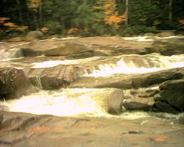
This rather blurry picture is of the Lower Falls (31) of the
Swift River. Apparently in summer this is a popular area; for us it
was raining and empty:
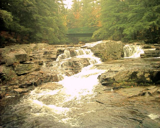
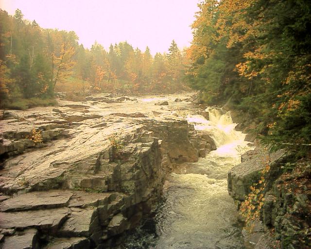
Further along the road is the somewhat more impressive Upper Falls
(32) of the same river (AKA Rocky Gorge). They had just
finished renovating the parking area and it looked nice.
There was an interesting story posted about how a young woman had fallen
into the stream back in the 40s and was trapped in an air-pocket under the
falls for most of a day and lived to tell the tale.
(To the complete shock of her rescuers! -K)
And a bit further down the road we saw what was to be our last waterfall
for the trip, Sabbaday Falls (33). It was named that because
in the 19th century a road crew was building a road, stopped near
the waterfall because it was a Sunday, and an early snow-storm halted
work for the year which was then never finished.
(The road was never finished, not the year -K)
Here is the top of the falls:
And here is the bottom. Notice the lava-dike (black line of rock)
that is geologically why the falls happens to be in this location
(Very cool! -K)
:
After that we drove across the mountain pass back to our side of the
mountain and to our warm, dry hotel room.
On to the last day...