Day 10 - Centralia WA to Tacoma WA
Day 10 - 26 June 2006 - Monday
--- Starting in Centralia, Washington ---
We drove west to Aberdeen WA, and then north on US 101 to
Olympic National Park.
We first stopped at some beaches on the Pacific, our last views of that ocean.
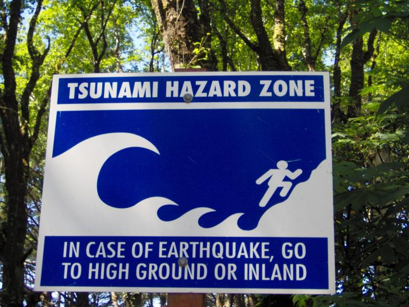
Here was the ubiquitous Tsunami Hazard sign, it was the first time I
got a good picture of one (Run away! Run away!):
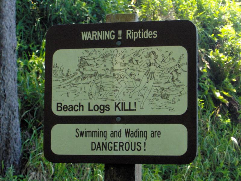
On the path down to the beach was also this disturbing sign:
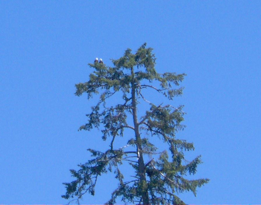
From the beach we saw some bald eagles:
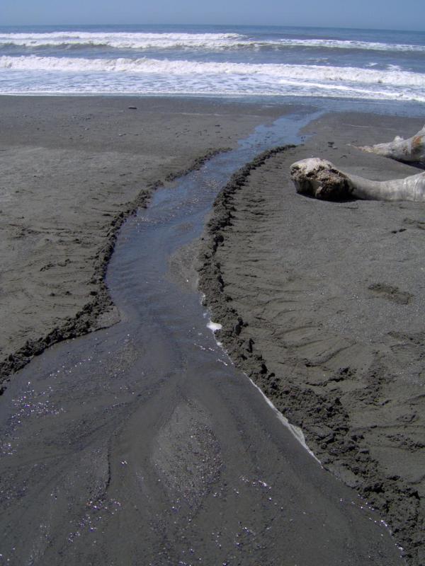
We walked on the beach for a bit. There was a stream that ended on the
beach, but didn't quite make it to the ocean. I took some time and
shored up its edges so it could, at least for a little bit, make it
the whole way to the Pacific (Young at heart,
playing in the sand :P):
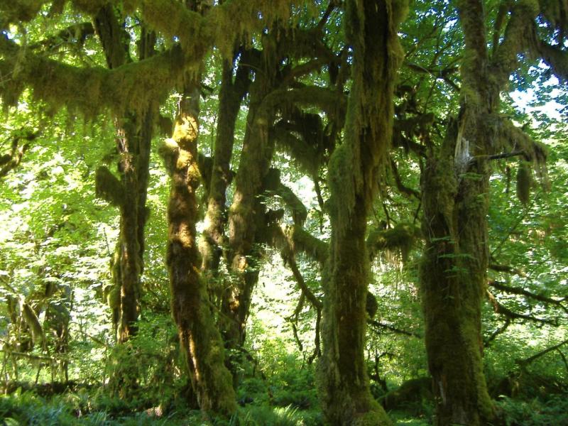
We then left the shore and went to the Hoh Rainforest visitor center.
Because it was summer it was very hot and dry; not quite what we
expected in a rain forest. (Would we have had
more fun if we were being poured on, I ask you?).
There was some beautiful clear water there,
and the trees were covered in mosses:
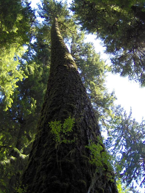
There were some exceedingly tall trees. These weren't redwoods, just
normal trees that got very tall:
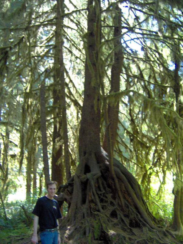
When a tree fell, other trees would grow on top of the fallen tree.
Then as the dead tree decayed out from under them, the new trees would
have crazy looking root systems. Here I am in front of one such tree:
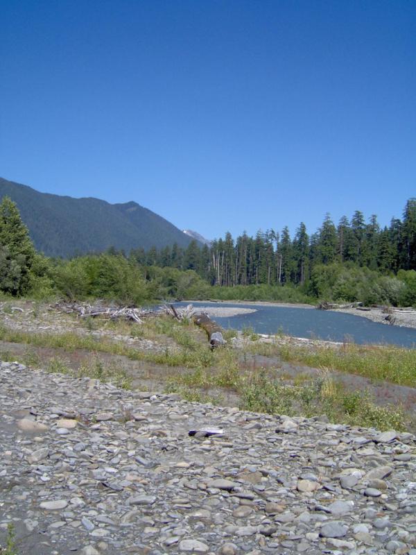
We left the rain forest, but stopped for a bit along the pretty Hoh River.
It was an extremely hot day, and though the river looked close to the
road, when we got to a pull-off we had to walk a very long way
before finding actual water. The water was milky looking due to glacial
runoff:
Olympic park is a very big park, and Route 101 goes the whole way around
it in a giant circle. So we went back down to the highway and continued
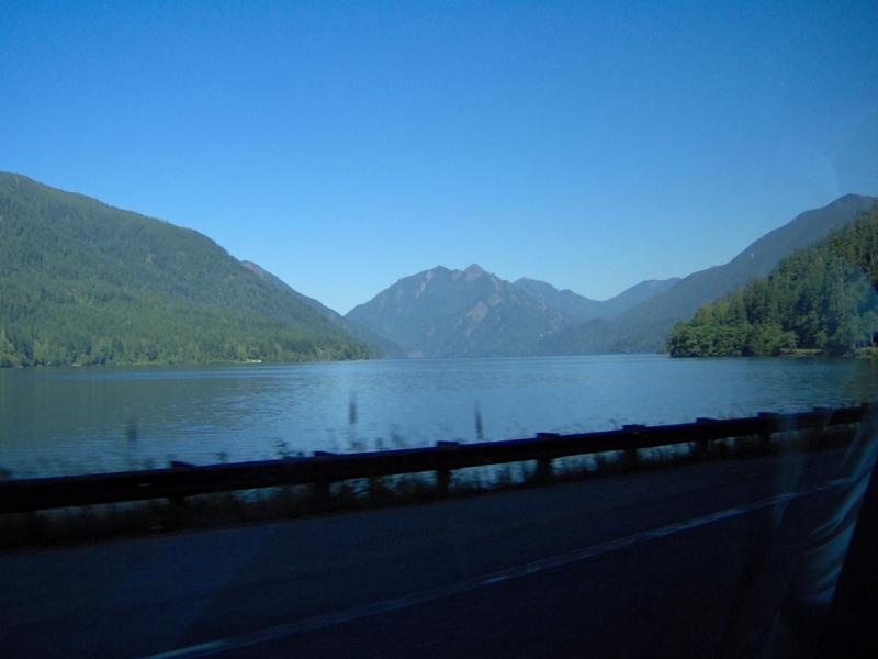
our clockwise route. On the northern side of the circle you go along
Crescent Lake for a while:
We dodged back into the park briefly to see Madison Falls:
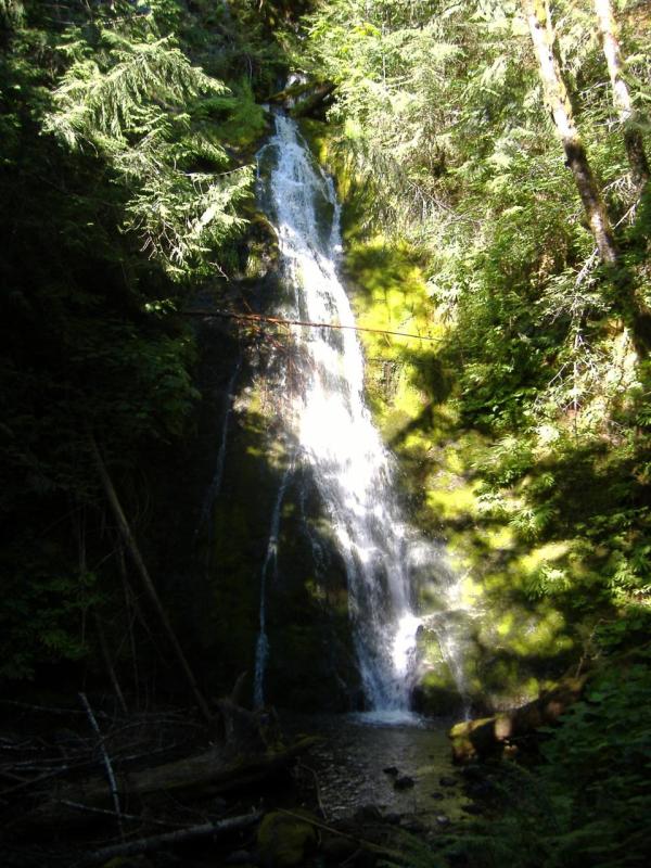
The camera was dropped here, but luckily it started working again
with some coaxing.
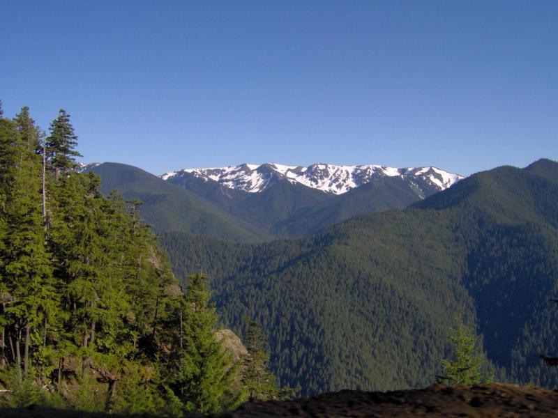
We then went to the top of Hurricane Ridge, which is 9000 feet up.
We got there after the visitor center closed, but that did not matter.
On one side you could see Mount Olympus, for which the park is named:
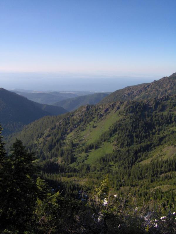
There was a trail to go to the top of the ridge. The sudden altitude
change made the hike very tiring (
it could be more tiring though, that's the beauty of being
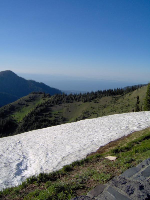
able to drive up most of the mountain). Here is the view. The water on
the horizon is the Strait of Juan de Fuca, and you are seeing across
to Victoria on Vancouver Island, Canada:
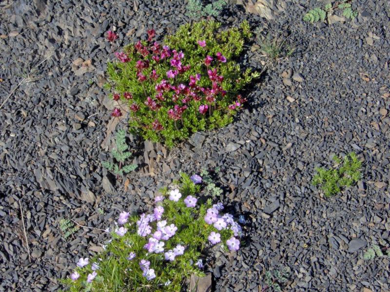
There were pretty flowers growing at this altitude:
Here is the view the other directions. You can see we are above the
snow line here:
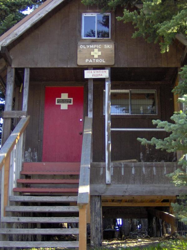
We also saw "Ice Station Zebra":
We then scarily zoomed down all 9000 feet nearly back to sea level.
Luckily the brakes held, and we stopped to eat in Port Angeles.
We decided to press on, and drove South. We crossed the Tacoma
Narrows bridge (not the
famous one, the modern replacement).
We stayed in Tacoma Washington at a Motel 6, having accomplished a total
displacement of only about 40 miles despite a whole day of driving
(Sad, isn't it?).
--- Ending in Tacoma, Washington ---
Continue on to Day 11