Northern Trip
30 August 2005 - Tuesday
0 Miles - Left Great Falls MT
Woke up early again. The cold front had come through, with an accompanying
line of storms. We spent most of the day driving out from under them.
We headed East, first on US-87 and then onto Montana Route 200.
We hit rain, the first major rain I had seen in 3 months due to living in
California during the dry season. We had to pull over and clear off the
windshield before the wipers would work effectively.
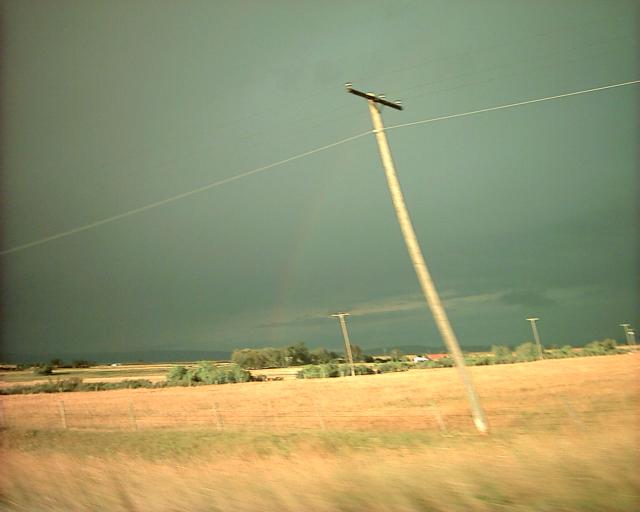
Eventually the sun came out, and there was a faint rainbow:
There was an impressive amount of wind throughout Montana and North Dakota.
And lots of endless yellow fields, though they got greener the further
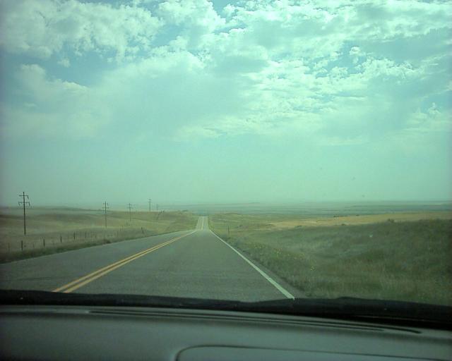
East you got. Here is a sample of the long straight road that is Route 200:
Luckily the speed limit was high, and we made good time. We passed right
by Brockway, but alas did not have time to stop and see their
monorail.
We caught up with I-94 in Glendive (where we got gas and crossed the Yellowstone River).
And soon after we got to North Dakota.
392 Miles - Arrive North Dakota
Not far across the border we got to
Theodore Roosevelt National Park
The park is in the badlands of North Dakota, and has some pretty rock
formations. We drove into the park and then around a 36 mile long scenic
route they had.
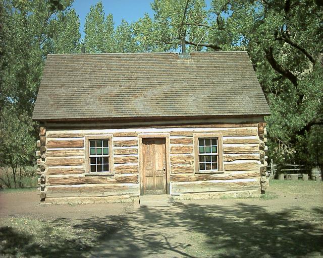
The park is named because Theodore Roosevelt came out here as a young man to
hunt bison, but grew to love the area. At the visitor center you could
see the cabin he lived in:
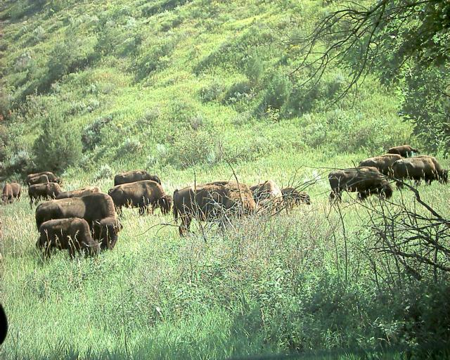
There was a lot of wildlife in the park. At the beginning of the loop was
a large prairie dog colony. Then we had to stop as a herd of bison
was blocking the road:
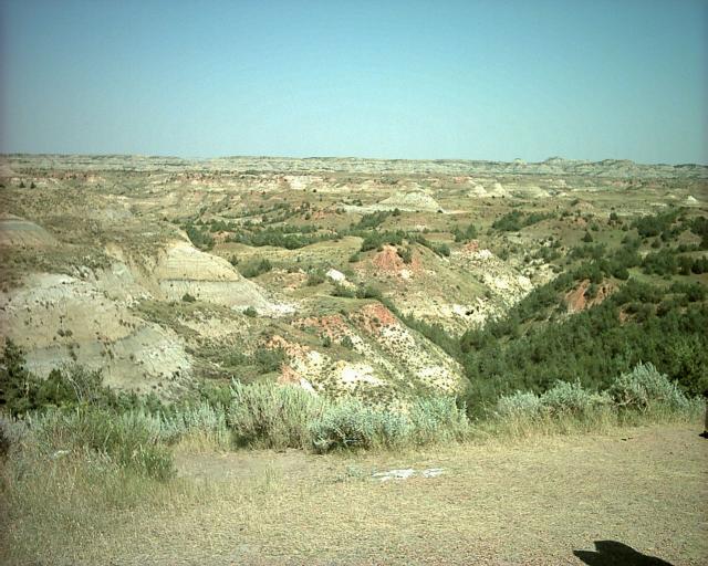
The scenery was very pretty:
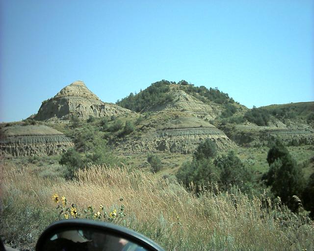
The hills went on and on in all directions. Very colorful bands. One of
the streaks is a coal deposit; at locations in the park parts of that band
have caught fire.
We climbed to the top of Buck Hill to take a scenic look. At 2855 feet it
is one of the higher points in North Dakota.
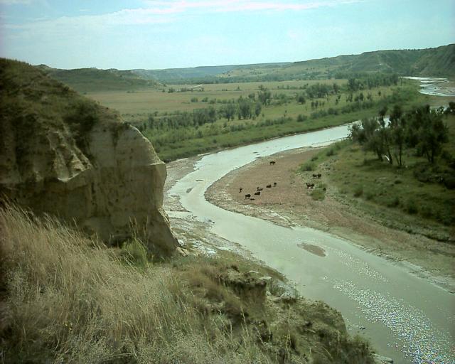
We went up the Wind Canyon Trail which overlooked the little Missouri river.
Here you can see bison on the right side of the river, and on the left side
near the rock corner are wild horses (which I admit are hard to see in this
picture):
We then finished the circle and left the park. I-94 passes through the park
and you get a lot of pretty scenery on it; there's even a rest-area off the
highway that doubles as a visitor center for the park.
Soon we left the badlands and returned to relatively flat prairie.
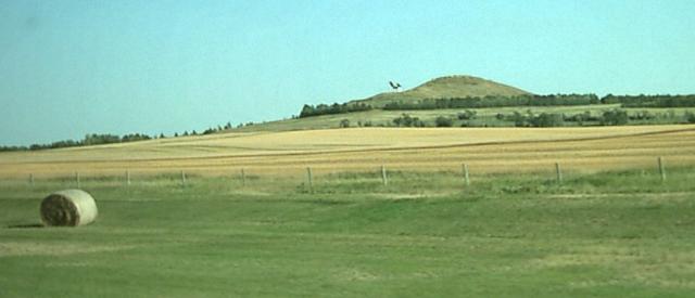
From the highway you could see some interesting sights, including
The World's Largest
Holstein Cow in New Salem (it's the blob on the hill):
We lost another timezone before Bismarck, we were now in Central Time.
So we decided to stop even though it was still light out.
We didn't see any Bismarck sites up close, though we could see in the distance
the State Capital building also sometimes known as the
"Skyscraper of the Prairie".
We stopped at the Motel 6 and ate at Kroll's Diner. Unfortunately we missed
2-for-1 Rootbeer float day (Wednesday) and a similar promotion on Monday.
We got some really good Knoephla Soup which was full of potatoes and dumplings.
593 Miles - Arrived Bismarck North Dakota
Day 4 - 593 Miles Traveled, 2109 Miles Total
Back to main trip page