Franconia Notch
On our trip we saw 33 named waterfalls and countless smallers ones.
I'll keep a running count of them here just to be annoying.
We used as our guide the book
"
Waterfalls of the White Mountains" by Bruce, Doreen and Daniel Bolnick
(Who had disturbing ideas about what constituted
"easy" in a hike -K).
The White Mountains regions is not really that large of an area, and the roads
all run in gaps through the mountains called Notches. The notches all
have stories about who discovered them; usually by men who got lost
and then were too stubborn to turn back and instead hacked their way
through the wilderness (Hehe, I'll believe
that -K).
The first notch we went to was Franconia Notch, which is the most famous
one. I-93 runs right through here, and it actually drops to two lanes
through the narrowest part. There are scenic areas at every exit, and we
started from the North, skipping the first (which was the sadly no longer
existent Old Man of the Mountain formation).
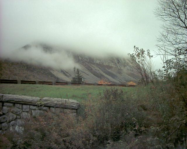
It was an extremely foggy day; the mountain was lost in the clouds:
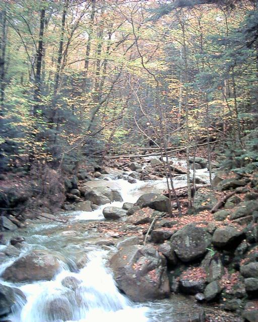
We went under the highway and onto the Falling Waters trail. We saw Walker
Cascade (1):
We also saw Stairs Falls (2), but the water was too high to cross
safely so we did not see the third waterfall on the trail.
(I wish I had had Vince's waterproof boots! -K)
That was one benefit of all the rain, the waterfalls were all a lot more full
than they usually are in October.
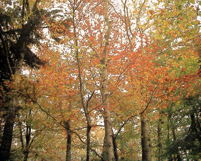
We were in NH for the trailing edge of Fall Foliage Season (by co-incidence.
The fact that it was leaf season meant everything cost more). This wasn't
the best year for leaves, but we still had some pretty views:
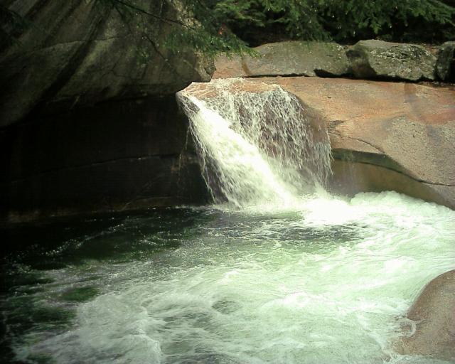
Next stop was "The Basin" (3) which is a famous pothole/waterfall
combination even though it is not very big:
We then left the old people from the tourist buses and headed up the hill.
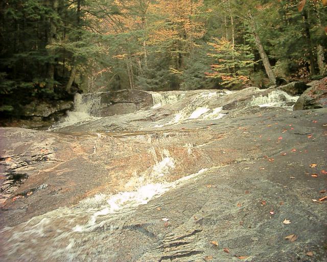
There were a lot of neat waterfalls rushing over huge slabs of granite.
We'll count them as one waterfall (4). Here is an example:
At the top of the trail was Kinsman Falls (5):
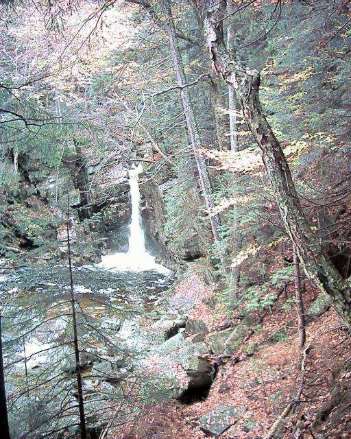
Again, the trail continued but the water was too high to easily cross,
(no boots again! -K) so we turned back.
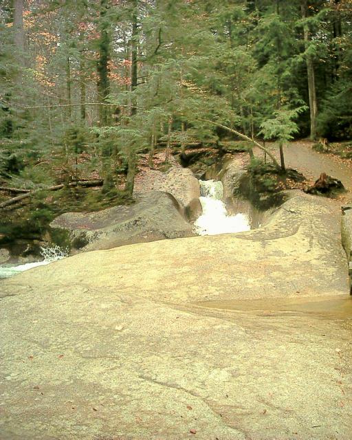
Right near the basin was a really neat combination flume/whitewater waterfall
(6) but unfortunately none of the pictures did it justice. Here
is the flume part:
After this we went back to the highway to the next exit. This is the
location of the famous Flume Gorge, which had a crowded visitor center. We
sat through the amusing video
, and then paid $8 to see the Gorge. Parts of
it looked a lot like Watkins Glen in NY.
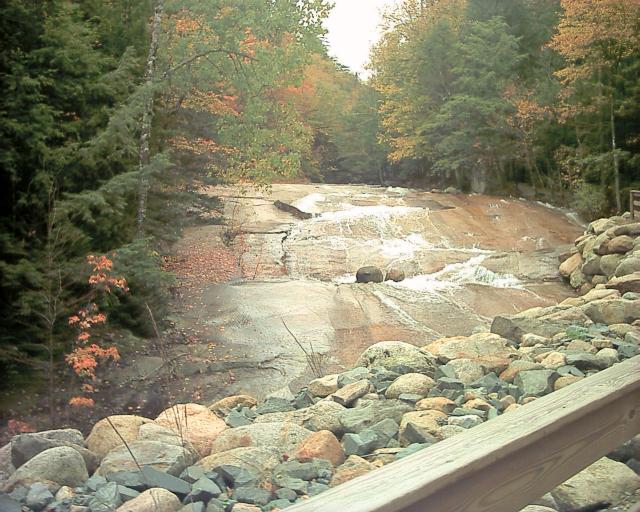
Along the trail you go over a covered bridge, pass a glacial boulder the size
of an elephant, and then pass the waterfall at Table Rock (7):
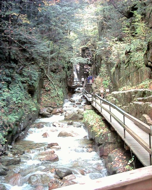
The actual flume gorge is very narrow and the steps are cantilevered out
from the side of the sheer wall
(They dismantle the whole thing every winter
and rebuild it ever spring. Impressive! -K)
:
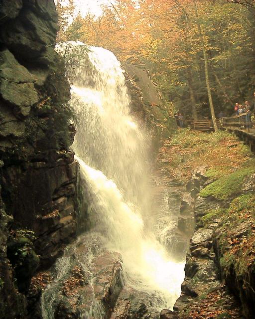
On the other side of the narrow gorge is impressive Avalanche Falls
(8):
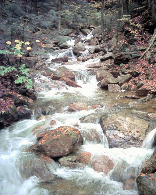
We crested the hill and started looping back to the visitor's center.
After walking through the forest we got to Liberty Gorge Cascade
(9):
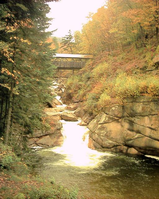
And then we got to the Sentinel Pine bridge. A tall, extremely old
pine tree stood at this site. But it fell down. So they made a bridge
out of it:
Nearby was the Wolf's Den, a narrow trough and cave you can squeeze through,
which was fun. Then we continued downhill back to where we started.
After this we were hungry, so we went to the famous
Polly's Pancake Parlor
in Sugar Hill. Kristina got 6 kinds of pancakes, and I got waffles
with Hurricane Sauce on it.
We then went to
Harman's Country Store to get cheese. We bought some
really good horseradish cheddar cheese, some
Maple Cream Soda and some other things.
And then we went back to the hotel where it took me forever to download
the 100+ pictures we had taken that day to my laptop so we'd have room
for further adventures (MacOS is annoying, I
had to boot it into Linux).
On to the Cog Railway


