Connecticut Hill
K and I went and walked around Connecticut Hill, the highest point in
Tompkins County. Its name comes from the fact that somehow the state of
Connecticut had some claims to this land back in the day, I don't know the
whole story.
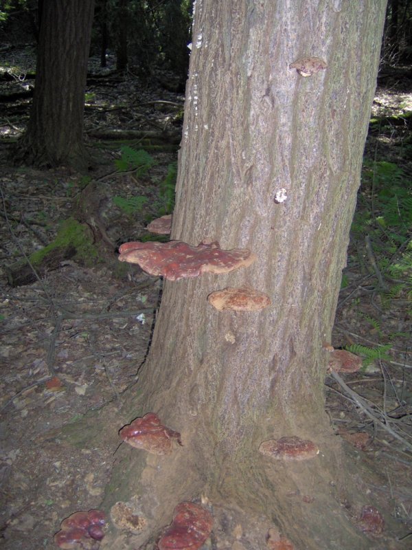
The trail went up and down a lot, I guess not surprising when you park your
car at the highest point in the county. Here is some cool shelf fungus:
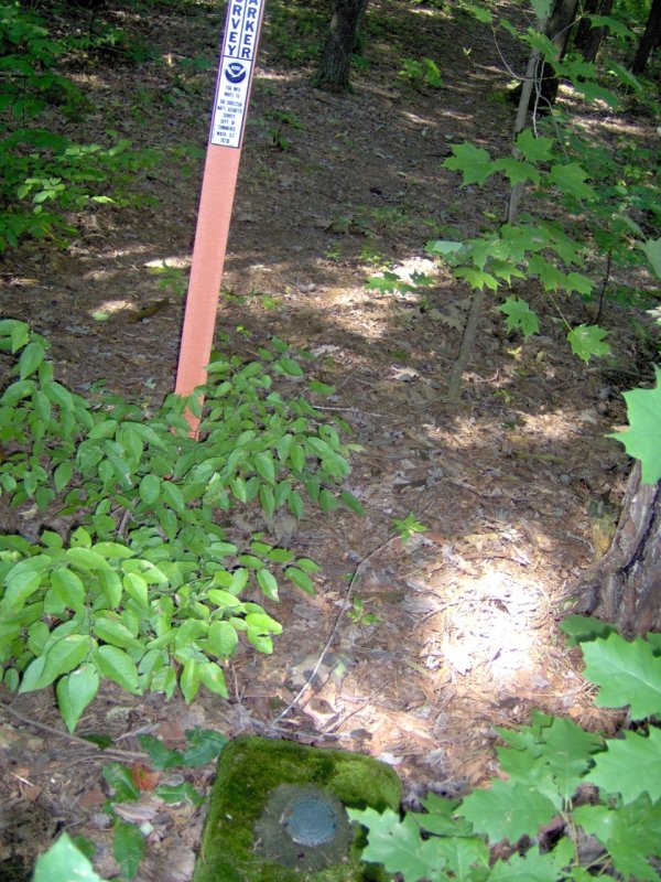
Just off the Finger Lakes Trail we thought we had found the high point;
there was a USGS marker and big orange pole. I dutifully took a picture,
only to find an identical setup a few hundred feet away. Who knows?
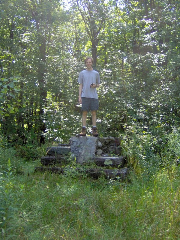
A bit further away on the driveway there is a more official looking marker
that has not aged well. Here I am standing on it:
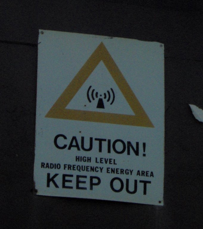
Of course, being a high place, there are plenty of antennas and microwave
towers nearby:
After this, we reduced out altitude by a large amount, straight down to
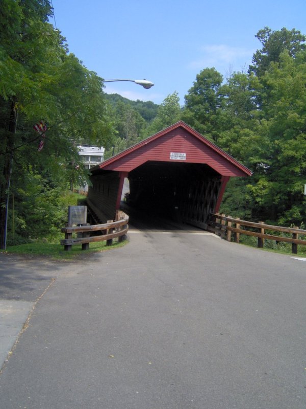
Newfield. There we hit a library book sale, as well as a town-wide yard sale.
Newfield is of course famous for their covered bridge:
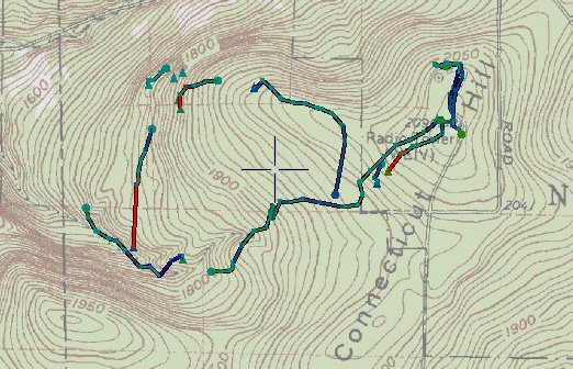
Here was our path for the day:
Back to late summer 2007